- Mon-Sun : 9.00 AM - 5.00 PM
WELCOME TO
MY PENSACOLA WEATHER
Lorem ipsum dolor sit amet, consectetur adipiscing elit, sed do eiusmod tempor incididunt ut labore et dolore magna aliqua. Ut enim ad minim veniam, quis nostrud exercitation ullamco Ut enim ad minim veniam, quis nostrud exercitation ullamco.


LIVE WEATHER UPDATES
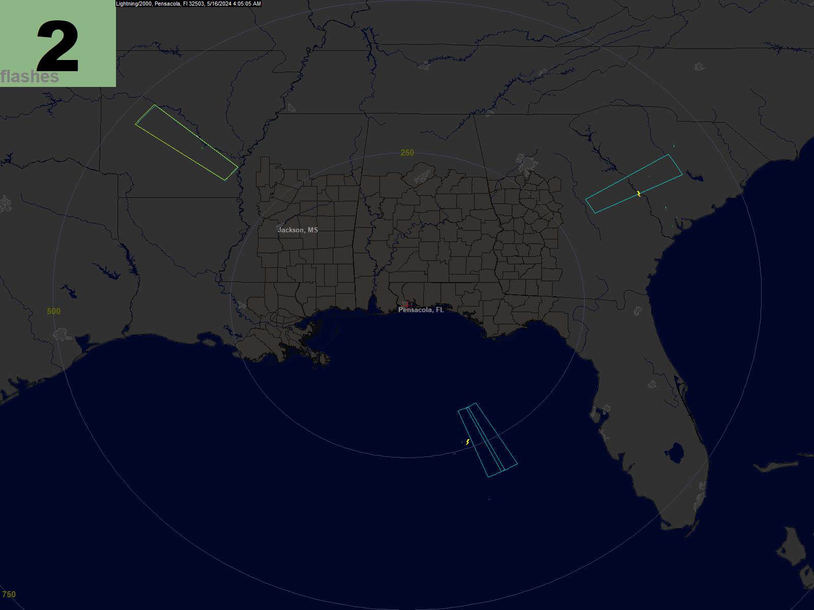
Lightning / 2000 Map
This is a depiction of the current lightning activity in the region. Larger symbols represent more recent strokes. The count in the upper left corner is the number of strokes detected in the last minute. The display normally shows the lightning activity in the last 20 minutes, however during times of intense activity we may switch over to a display that only shows the activity in the last minute.
For the newest strokes, cloud-to-ground is shown as a small yellow lightning bolt, and intercloud/intracloud is shown as red triangles.
For older strokes, green and cyan denote cloud-to-ground discharges, and blue and pink denote intercloud/intracloud discharges.
Occasionally, we will switch briefly to a display that shows only CG or IC strokes. If the screen capture occurs during one of those times, you will see that reflected in the display.
(An image will be uploaded every minute when there is at least some minimal lightning activity.)

 |  |   |
 |


